Koh Chang is a big, mountainous island in the far east of the Gulf of Thailand. Here is how the coast is laid out, from the ferry landing to Lonely Beach and the quiet east side.
Koh Chang is a big, green, mountainous island in the far east of the Gulf of Thailand, in Trat province. You reach it by car ferry from the mainland, and from Bangkok the whole journey usually takes 6 to 7.5 hours.
Most of the interior is protected rainforest inside Mu Ko Chang National Park. Life is gathered along the coast: beaches on the west, fishing villages and mangroves on the east. Once you know that split, the map makes sense.
The short answer
Think of Koh Chang as a mountain with a road around the edge. The jungle sits in the middle and the villages and beaches sit on the rim. You cannot cut across the island, so each coast is its own world.
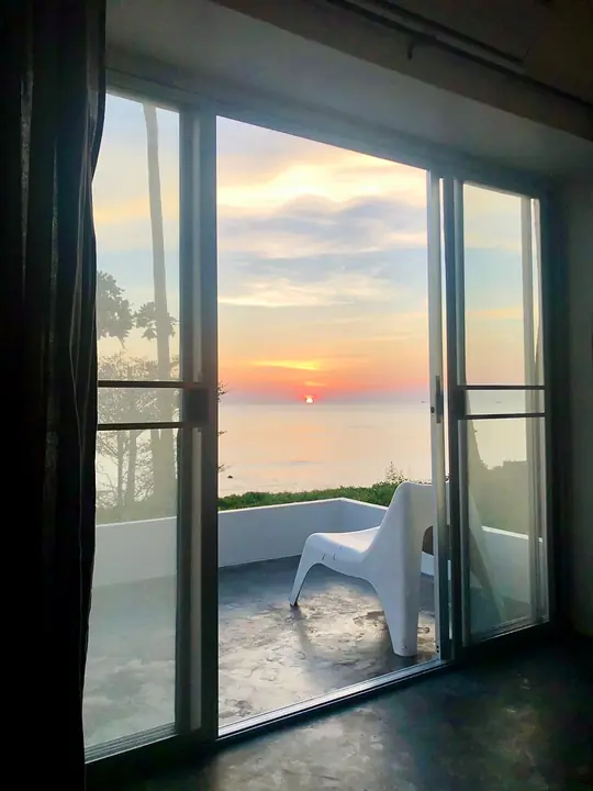
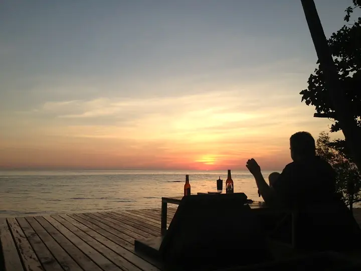
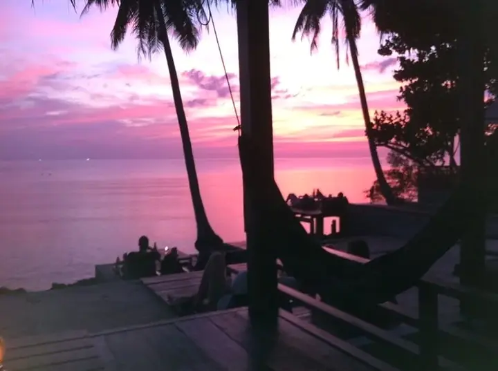
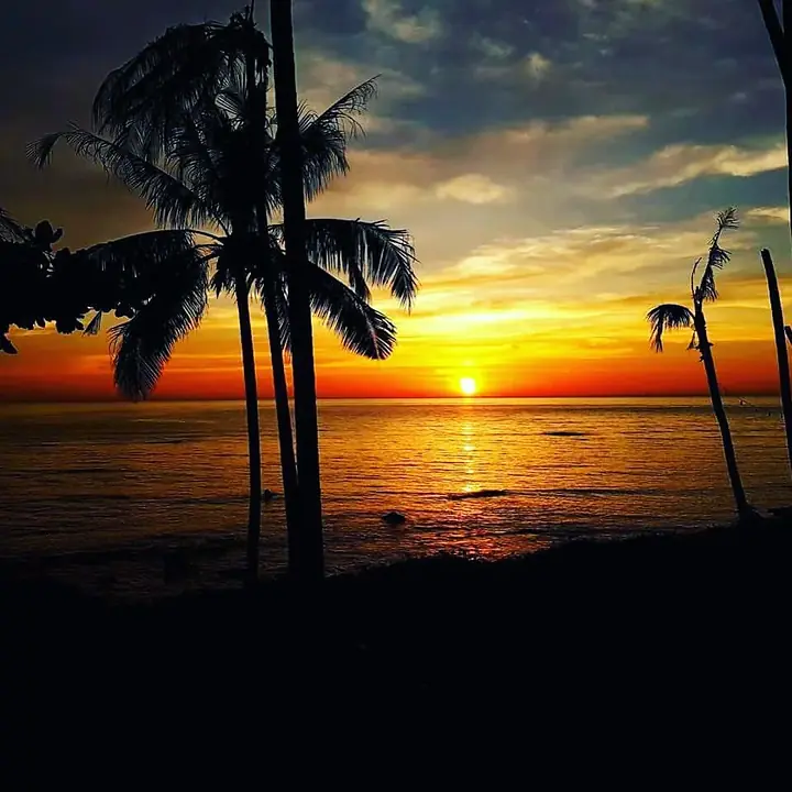
The ferry lands you on the island, and from there a single road runs down the west coast. That coast faces open sea, so every beach on it gets a sunset over the water. Lonely Beach, where we are, is on the south-west coast.
If you are still working out how to get here, our guide to getting from Bangkok to Koh Chang covers the buses, minivans and flights, and the ferry guide covers the crossing.
The west coast, north to south
Shared songthaew taxis from the ferry landing run down the west coast past White Sand Beach, Klong Prao and Kai Bae to Lonely Beach. The ride takes about 45 to 60 minutes, and the road climbs some steep hills on the way.
- White Sand Beach. The first of the beaches you pass after the ferry.
- Klong Prao. Home to the Klong Plu waterfall, which is around half an hour's ride north of Lonely Beach.
- Kai Bae. Just north of Lonely Beach, with the viewpoint on the hill above it. Some boat trips to Koh Rang leave from here.
- Lonely Beach. The south-west coast's social corner, with a sandy bay, restaurants and bars.
- Bailan Bay. Just south of Lonely Beach, a calmer rocky bay of cafes and yoga.
- Bang Bao. At the southern end of the west coast road, a fishing village built on stilts. Many boat trips begin from its pier.
The hills between the beaches are steep with tight bends, which is worth remembering if you are thinking of renting a motorbike.
The quiet east coast
The other side of the island is a different pace. The east coast is fishing villages and mangroves, with far fewer visitors and far fewer bars.
Salak Khok runs a community ecotourism project in its mangrove forest, where you can rent a double kayak for around ฿200 an hour. Salak Phet, in the south-east corner, is a long bay of stilt houses and seafood restaurants over the water. Than Mayom waterfall is on this side too, opening 09:00 to 16:30, and the free falls at Khiri Phet and Klong Neung are in the south-east.
From Lonely Beach the east coast is a longer ride around the north of the island, so set off in the morning. Our slow guide to things to do suggests how to fit it into a day.
Islands to the south
Koh Chang sits at the top of an archipelago. South of Bang Bao the sea opens into dozens of islands, and the best coral is protected inside the marine national park.
Koh Rang is the most popular snorkelling destination. Day trips usually leave Bang Bao or Kai Bae around 09:00 to 09:30 and take 30 to 60 minutes to reach the reefs. The Koh Wai area is close enough for a day trip, and boats also connect to Koh Mak and Koh Kood, though some services only run in the high season.
Reading the map on the ground
A few things that a map does not tell you:
- There is one main road on the west coast, so distances feel longer than they look. Hills slow everything down.
- Songthaew taxis run along the main road. Flag one down and agree the price before you get in.
- The national park covers most of the interior. The waterfall fee for foreign visitors is ฿200, and one ticket covers Klong Plu and Than Mayom on the same day.
- Carry some cash. Songthaews, street food, park fees and boat fees are often paid in baht notes.
For what the west coast is like to stay on, read Lonely Beach, honestly.
Where we sit on it
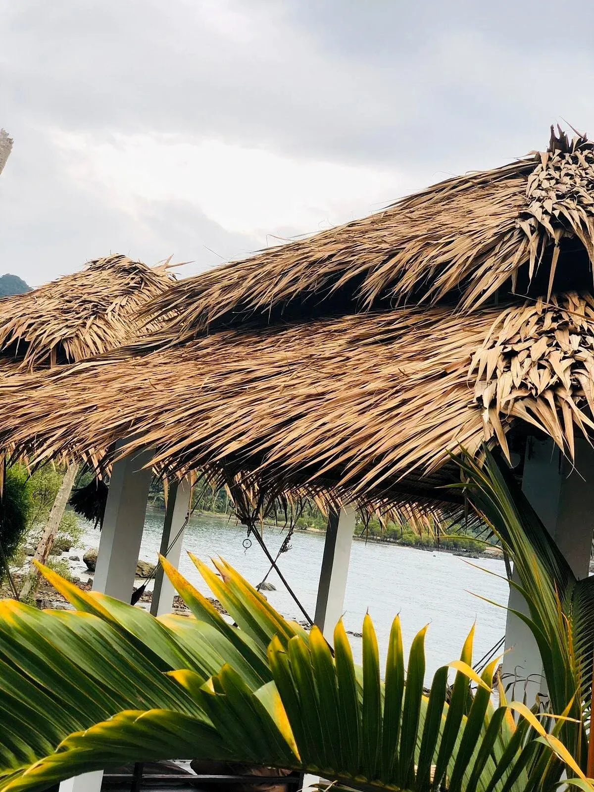
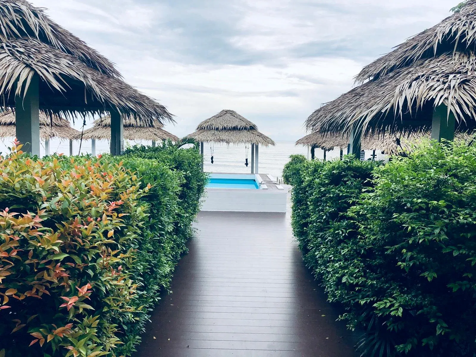
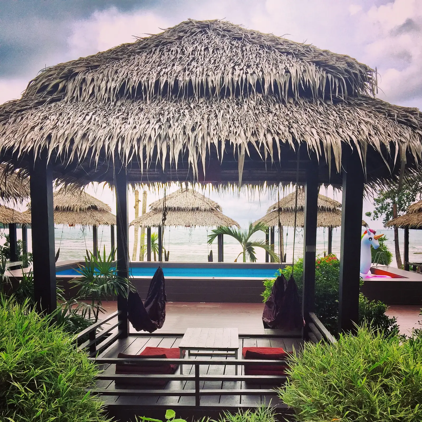
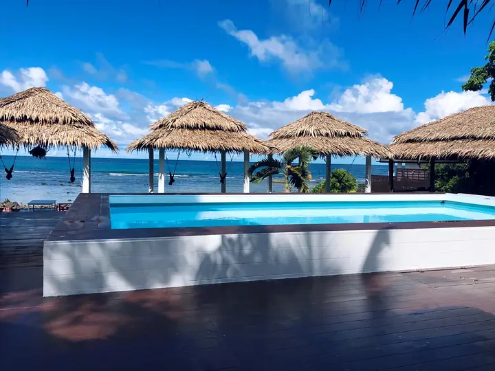
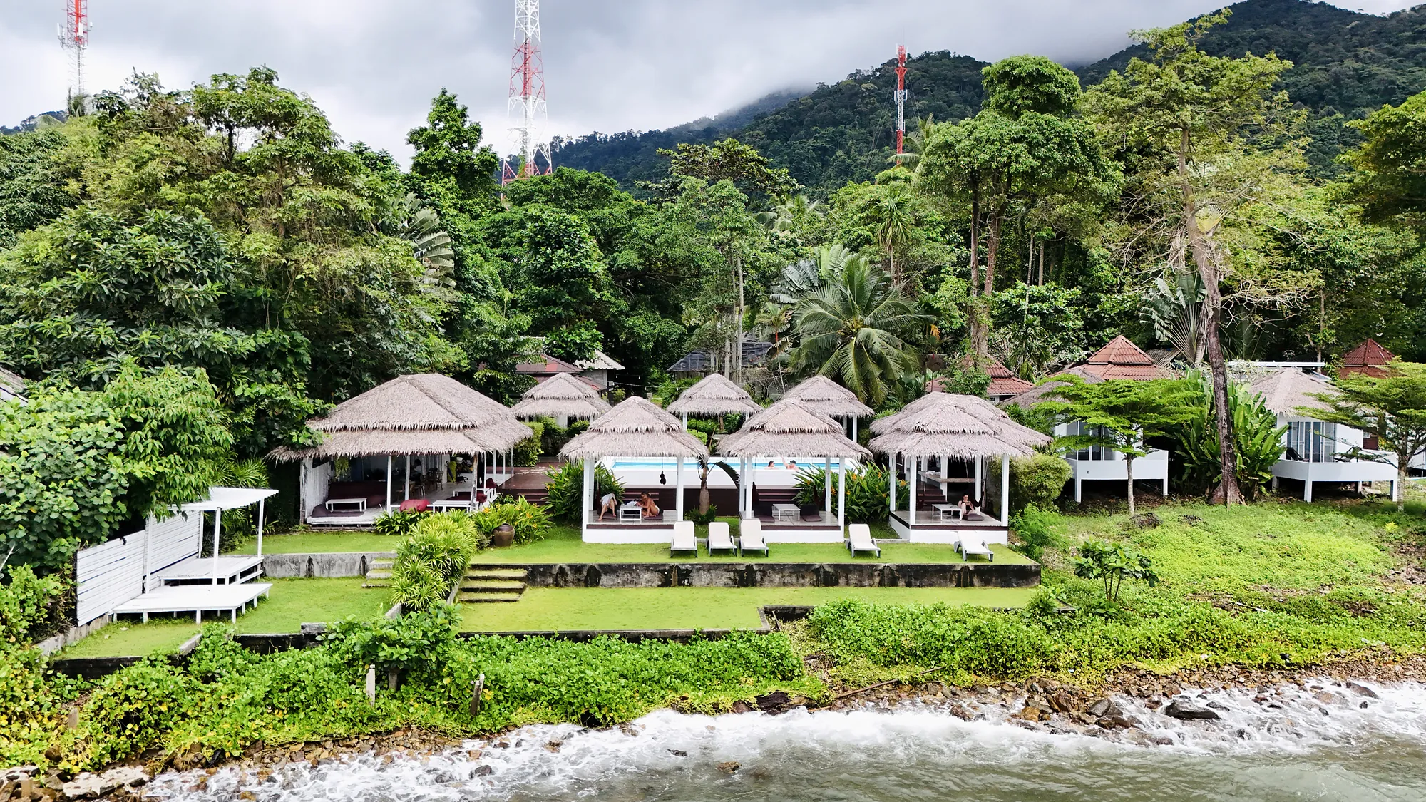
Paradise Cottage is at 104/1 Moo 1, South Koh Chang, Ko Chang, Trat 23170, on the water just south of the main beach at Lonely Beach. We have 18 bungalows, and the sea is right in front of them.
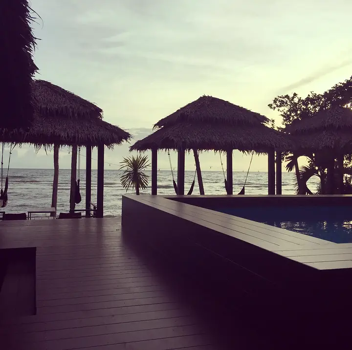
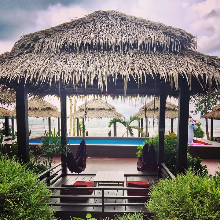
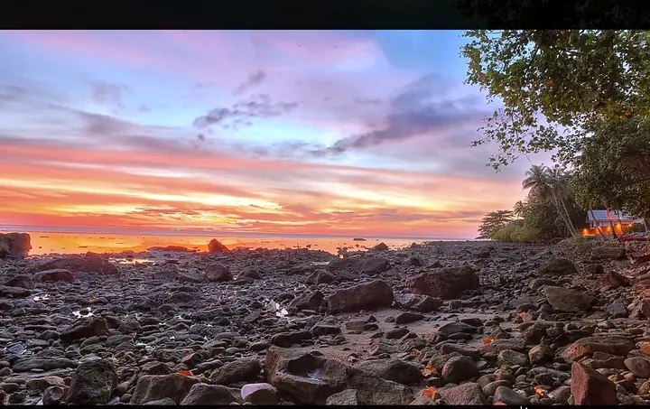
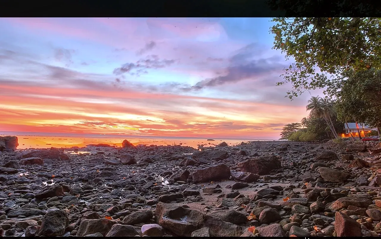
The shore in front of the resort is rocky, which makes it good for sunsets but not for paddling. The sandy part of Lonely Beach is a 10 to 15 minute walk, and there is a pool on our deck above the sea.
If you would like us to arrange a taxi from the ferry landing, or tell us what time you expect to arrive, message us on WhatsApp or call +66 95 149 5935. Check-in is from 14:00.
Quick answers
Where is Koh Chang in Thailand?
Koh Chang is a large mountainous island in the far east of the Gulf of Thailand, in Trat province. You reach it by car ferry from the mainland.
Which side of Koh Chang is best?
The west coast has the beaches, restaurants and sunsets, and Lonely Beach is on its south-west side. The east coast is quieter, with fishing villages, mangroves and seafood restaurants over the water.
Where is Lonely Beach on Koh Chang?
Lonely Beach is on the south-west coast, past White Sand Beach, Klong Prao and Kai Bae when you travel down from the ferry. Bailan Bay is just to the south and Bang Bao is at the end of the west coast road.
How long does it take to reach Koh Chang from Bangkok?
Usually 6 to 7.5 hours door to door to Lonely Beach. That is about 5 to 6 hours by road to the ferry piers, 25 to 45 minutes on the ferry, then 45 to 60 minutes down the west coast.